[This is a continuation of my Canada October 2025 posts]
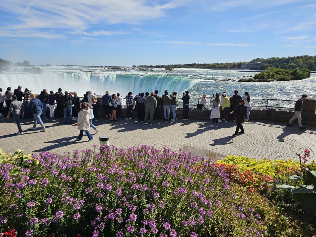
When I considered a trip to Toronto, I had not quite factored in the possibility of visiting Niagara Falls. Thanks to Toronto Cousin, always patient and generous with his time, we set off as a family group on a sunny Friday morning to visit the completely awesome and captivating Niagara Falls.
The first stop on any road trip is to Tim Hortons. There are over 4,000 branches around Canada and everyone has their favourite drink and food item. I am not sure if there is a similar national coffee chain like this in the UK. Our family road trips are not very long (3 – 4 hours is our limit) so to save time we tend to pack our own food and drinks for the journey.

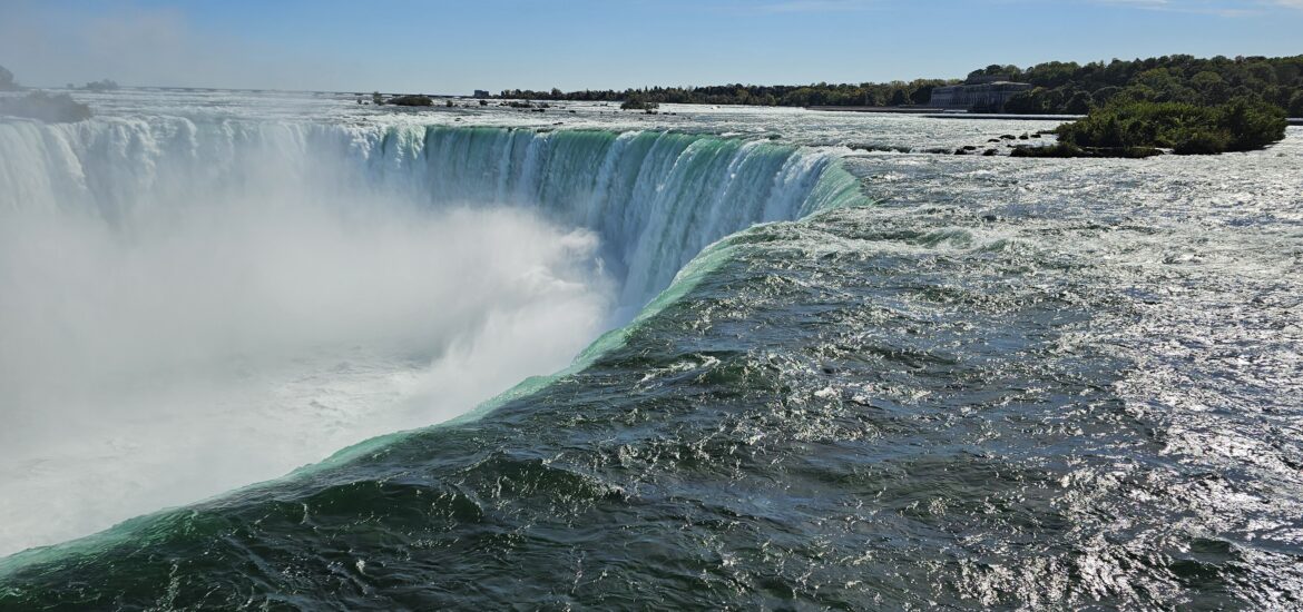
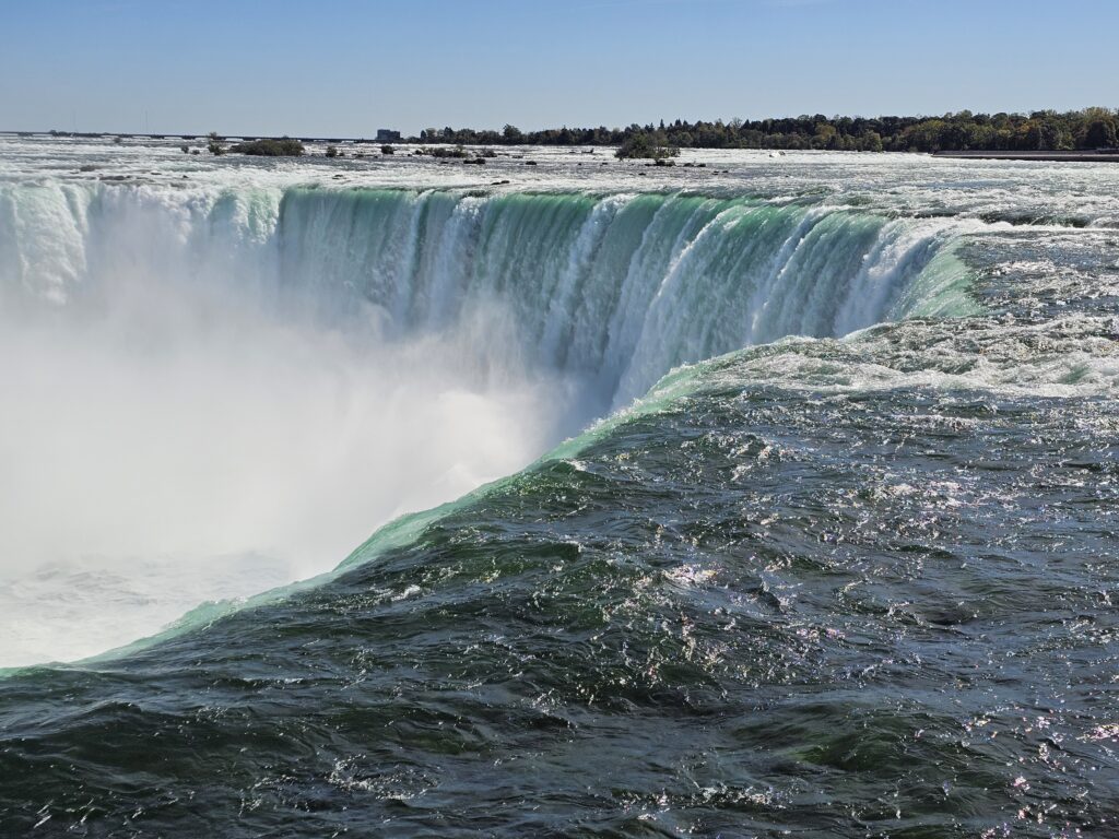
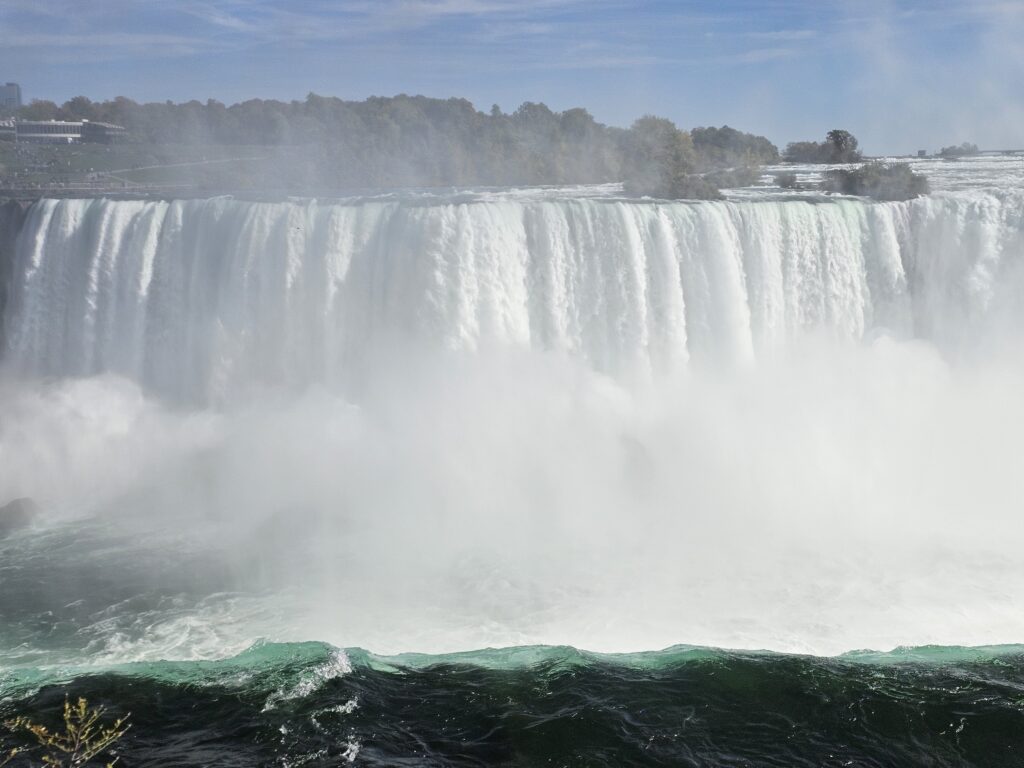
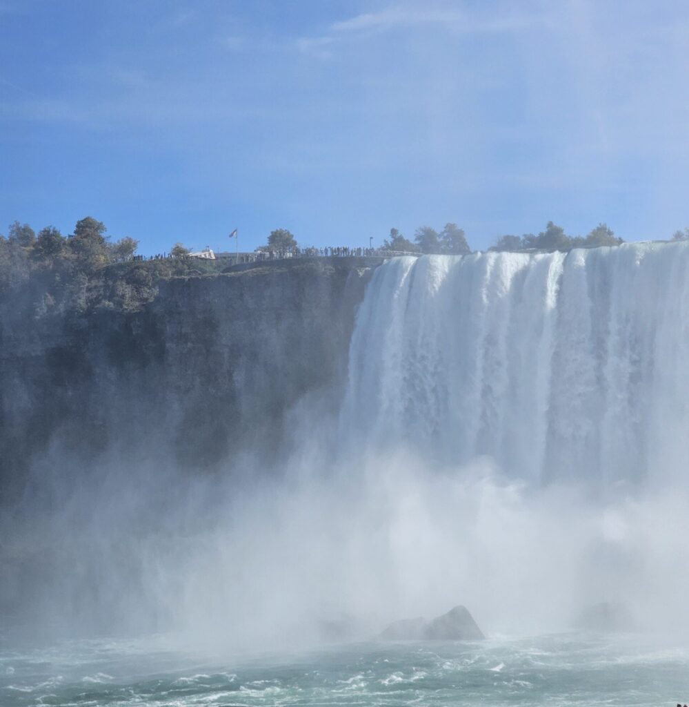
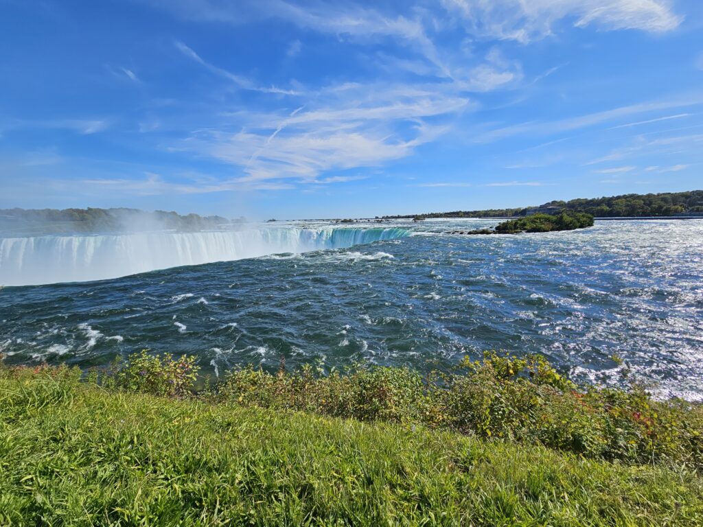
Niagara Falls is made up of three waterfalls that run along the Niagara River on the Canada – US border (see geography notes at the end of the post). We visited Horseshoe Falls on the Canadian side. American Falls and the smaller Bridal Veil Falls are located within the United States.
Horseshoe Falls is the largest of the three waterfalls with approximately 90% of the Niagara River, after diversions to generate hydropower, flowing over it. The remaining 10% flows over the American Falls and Bridal Veil Falls. The practical outcome of this for Canada is that with such a continual force of water generating hydropower, the price of electricity is lower than that of other developed countries. This video explains the hidden engineering of Niagara Falls.
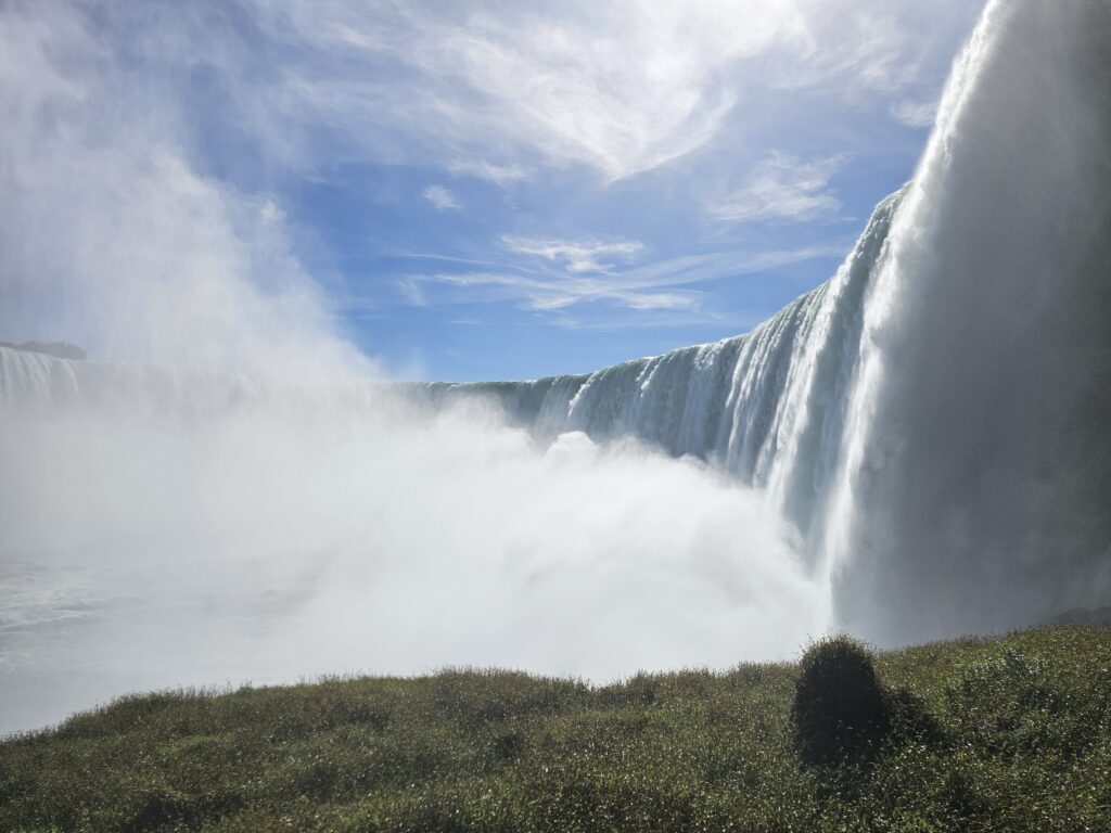
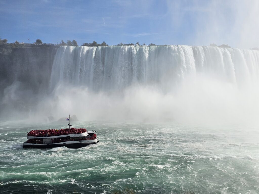
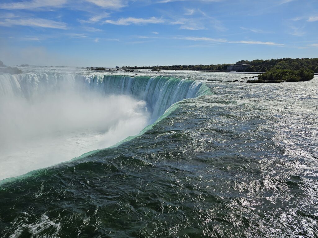
Pictures alone cannot do justice or capture a visit to Niagara Falls. I took some videos but these too were limiting when played back. Here are some photos, and I am keen to say that visiting the falls was a highlight of any trip I have made in all my travels. Watching the water flow and hearing its thunderous roar was a completely mesmerising experience.
Horseshoe Falls
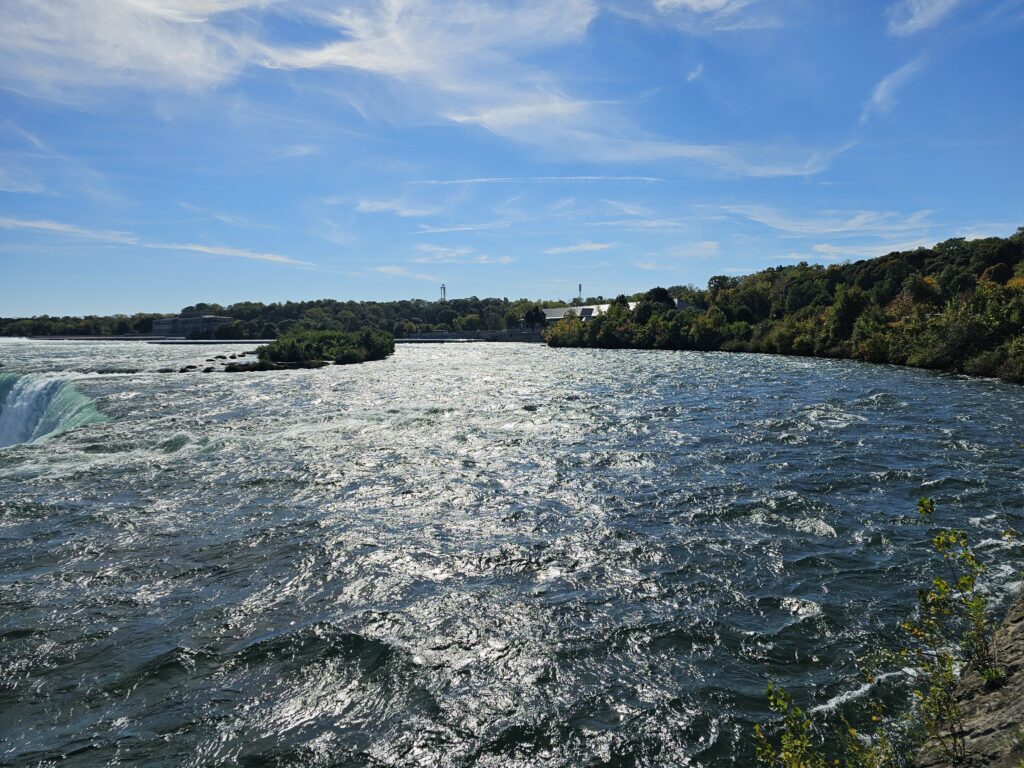
Looking out to the Niagara River before it flows down to the Horseshoe Falls
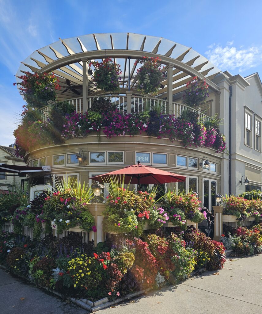
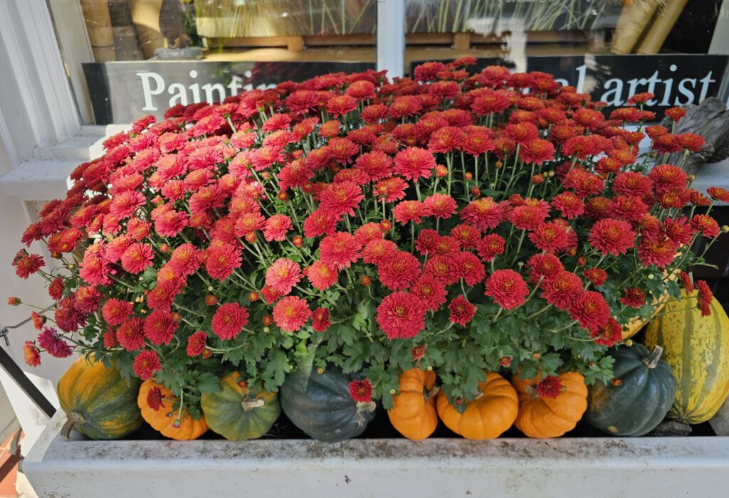
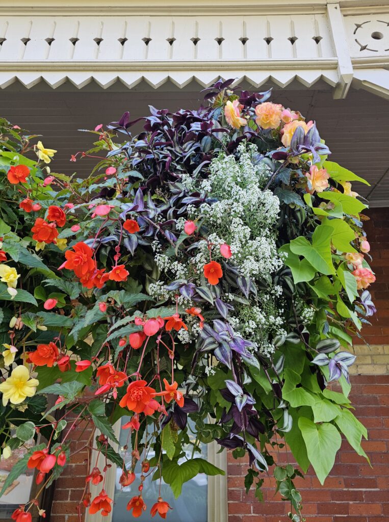
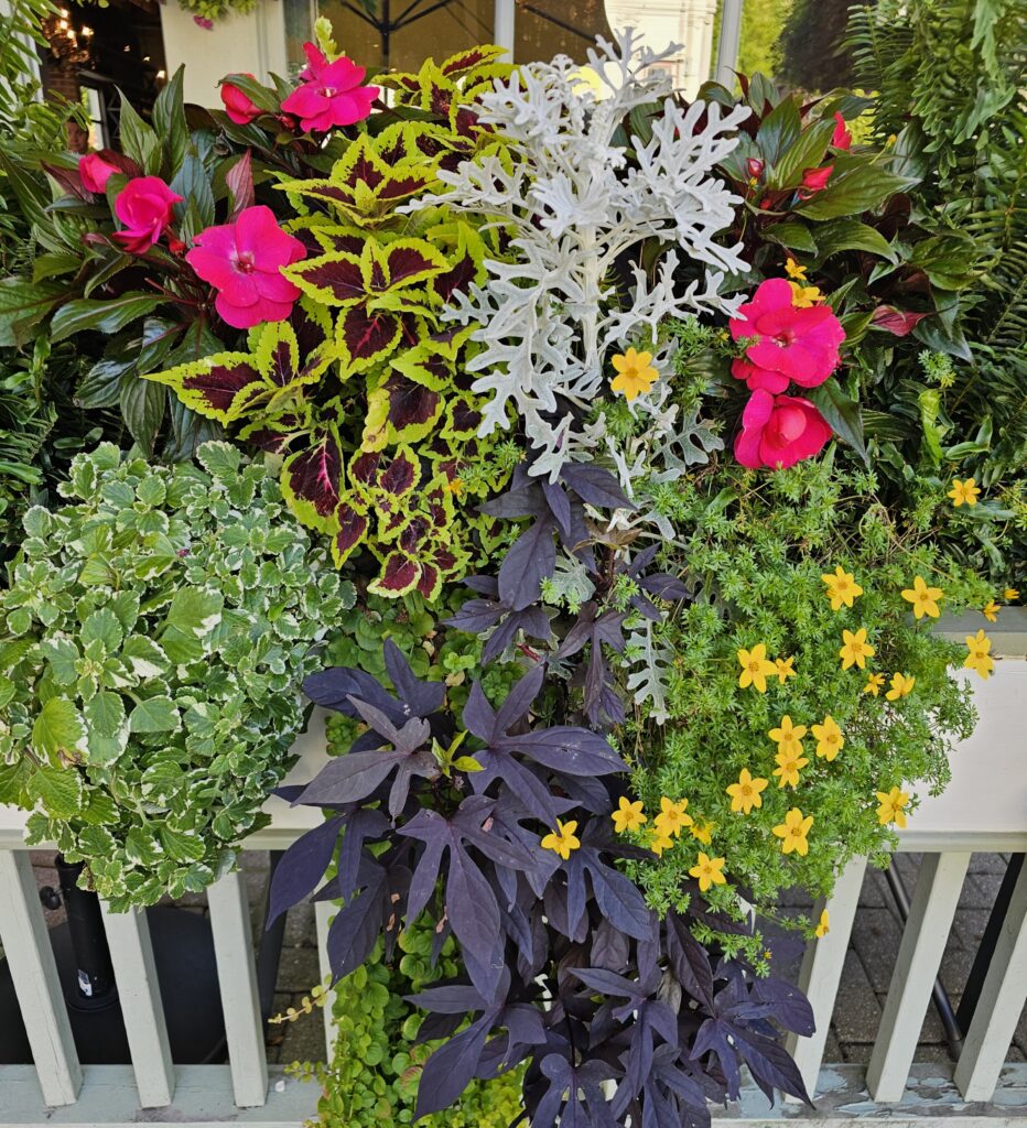
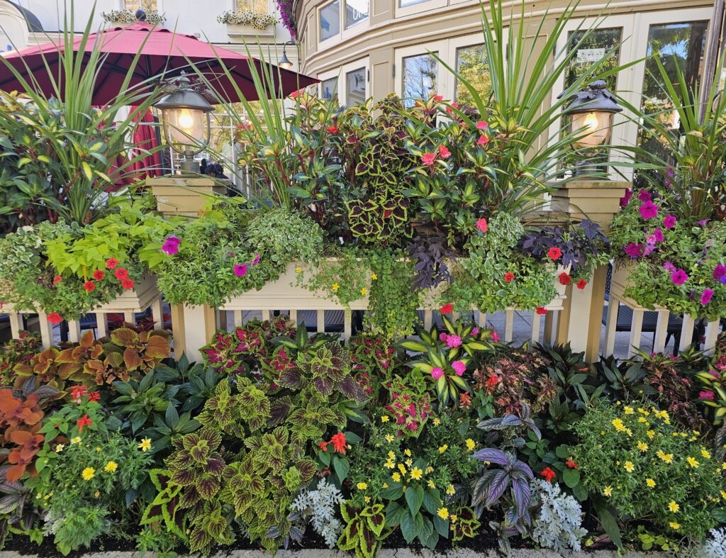
There are many attractions and distractions around Niagara Falls but Toronto Cousin was keen for us to visit the charming and picturesque town of Niagara-On-The Lake. There is something particularly English about flower boxes so we felt right at home. Also, the main hotel in town is called the Prince of Wales Hotel.


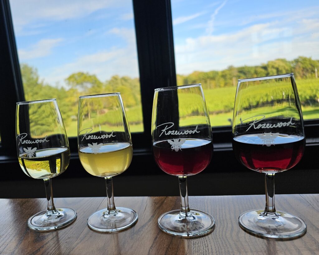
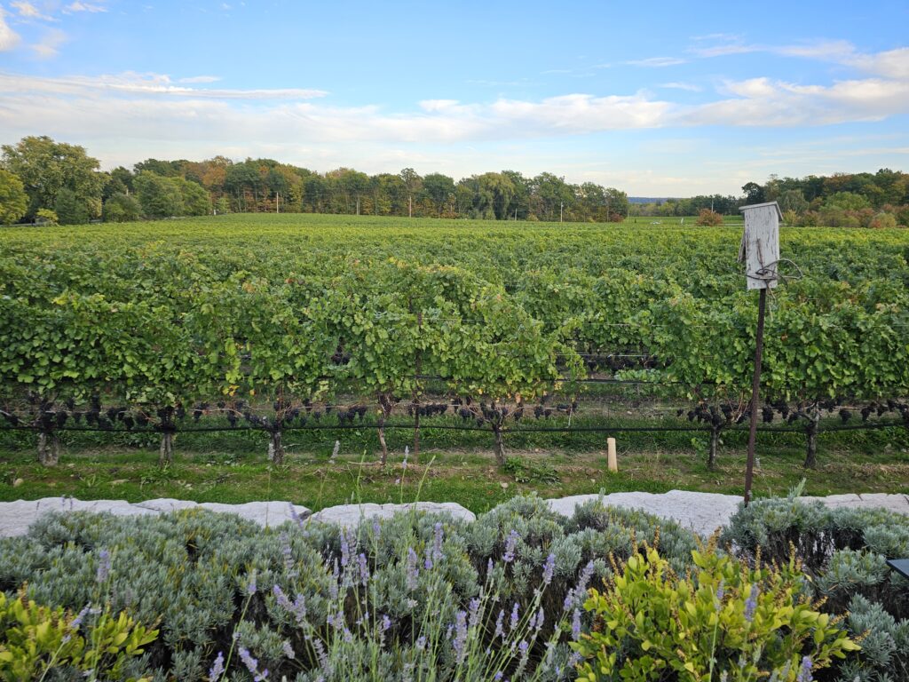
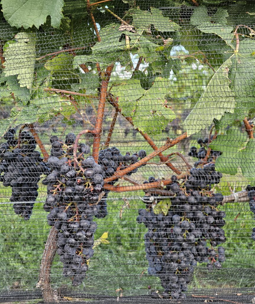
After lunch at a local diner (I loved this! It was everything I thought a diner would be) and some window shopping along the main street, we headed to the Rosewood Winery for some wine tasting. Read about the Niagara wine region here.
At the end of the day we headed back to have dinner with Toronto Uncle and our other cousins. There was a lot to talk about and much excitement at the coming weekend, as we were going to celebrate Uncle’s 95th birthday on Saturday followed by a Canadian Thanksgiving dinner on Sunday.
This weekend marked the end of our nine days in Toronto.
I will write about our stay in Ottawa in a future post, then finish the Canada series with a write-up on Montreal. I have been busy trying out new Autumnal recipes (in particular I made a very good Apple Galette) and meeting up with the children. I am not quite ready for Christmas but maybe this is because I have just had the flu jab and my head feels a bit woozy. It might be better after the weekend.
For those interested in Geography
Canada shares a border with North America. Excluding the border with Alaska, the division (Canada to the north and America to the south) is not a straight line all across from the west coast to the east coast. The border starts off straight from British Columbia via Alberta and Saskatchewan to Manitoba, then curves south on account of the Great Lakes before continuing in wavy lines all the way to the Atlantic coast.
For some reason I had to learn about the Great Lakes when I was at Secondary School, but I don’t remember why.
Toronto is on the north-western shore of Lake Ontario and the Niagara Region lies on the south-western shore of Lake Ontario.
There is a strip of land called an isthmus between Lakes Erie and Ontario (popularly referred to as the Niagara Peninsula), and it is here that the Niagara Falls is located. You can see from this map of the Niagara region that the Canada-US border runs along the Niagara River. This means you can see the falls from both the US and Canada. It is more spectacular seen from the Canadian side and this is what I would advise.
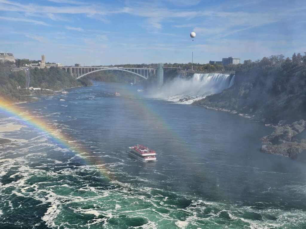
Looking towards the American Falls and Rainbow Bridge which links Canada (on left) and the United States (on right)
10 million people visit Niagara Falls every year